
Last week’s winter storm brought record-breaking rainfall, making the National Weather Service (NWS) one of the busiest departments past few weeks. Since the beginning of the month, the agency has been in a state of emergency as heavy rainfall from a recent winter storm spread from the San Luis Obispo and Santa Barbara areas to LA and south to San Diego.
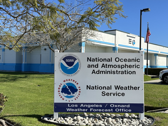
The Korea Daily visited the NWS’s Oxnard office at 10:30 a.m. on February 9. Three meteorologists manned dozens of monitors, keeping a close eye on flooding and wildfires, as well as atmospheric conditions and water rescue efforts. The NWS Oxnard office monitors climate change and atmospheric conditions in the Los Angeles County-San Luis Obispo County area.
“It appears that another ‘atmospheric river’ will move into Santa Barbara County on or after the 18th,” said NWS Meteorologist John Dumas, “with a 30 percent chance of a storm as of the afternoon of February 9.” The forecast comes less than two weeks after the heaviest rainfall in 97 years. An atmospheric river is a narrow, elongated band of rain clouds that originates in the Pacific Ocean and is a kind of ‘moisture conveyor belt’.
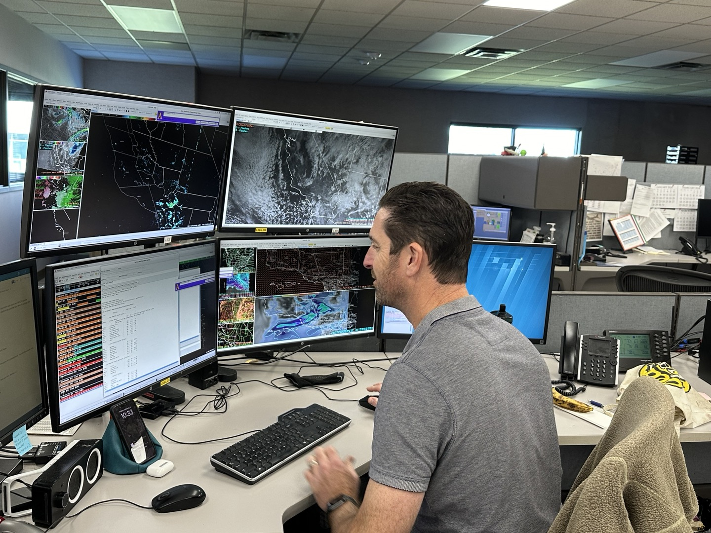
The NWS uses Doppler radar and satellites, as well as state-of-the-art equipment, to observe and analyze weather to make forecasts, Dumas added. Satellites used for climate observations include the GOES-16 satellite, which measures the magnetic field of the space environment in the outer regions of Earth’s magnetosphere, and the Polar Operational Environmental Satellites (POES), which orbits the North Pole 14 times a day at about 520 miles above the Earth’s surface.
In particular, meteorologists at NWS are using weather radar, which can measure the horizontal speed of precipitation and the distribution of winds, and data from satellites and other radars, which are organized and integrated into Advanced Weather Interactive Processing Systems (AWIPS) to monitor climate change.
“Twenty years ago, we used only weather instruments to observe the weather, but today, with the use of advanced technology, we are able to collect a wide range of data quickly and in detail, which has increased our accuracy,” said Dumas.
Today, the NWS has established close partnerships with the Center for Western Weather and Water Extremes (CW3E), county governments such as Los Angeles, Ventura, and Santa Barbara, local media outlets, and NWS regional offices across the country to respond quickly to emergencies. NWS meteorologists are dispatched to local Emergency Operations Center (EOC) during emergencies like the recent winter storm to ensure accurate and rapid response to weather changes, he added.
According to the NWS, the past storm brought the city’s precipitation this year to about 15 inches above normal, and the state is currently in the El Niño influence zone, which brings warmer sea surface temperatures in the tropical Pacific Ocean.
NWS’s Oxnard office has a total of 20 meteorologists monitoring the weather, with at least two on-duty 24/7.
BY YEJIN KIM, HOONSIK WOO [kim.yejin3@koreadaily.com]
![Old and new Korean passport [JoongAng Photo]](https://www.koreadailyus.com/wp-content/uploads/2025/06/0630-passport-100x70.jpg "Korean Woman Deported After Using Altered Passport Name")
![Hyun Park(left), a long-term resident of a homeless rental housing unit, speaks with KYCC Director Rick Kim (far right). [Sangjin Kim, The Korea Daily]](https://www.koreadailyus.com/wp-content/uploads/2025/06/0630-homeless-100x70.jpg "Korean homeless residents face eviction from LA-subsidized housing")

